Tuesday, November 27, 2007

Geo-tagging


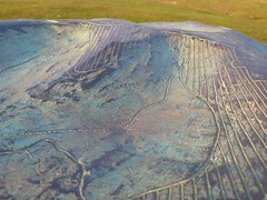
Contours on the topograph
Originally uploaded by Smoobs.

At some point I'll start geo-tagging select comics over on flickr. I'll let you know which ones and when I do it.
Not today, of course. Today has been spent addressing, stuffing, and sending comics and memberships to foundlings all over the world. One as far away as Kissimmee! I should've just driven it over there.
Also, have you tried the new "terrain" button on google maps? It's kinda fun. Unless you live in Florida, where our highest elevation is 300 feet. No, really. Google it.

5 comments:

  1. Something like 357 feet, isn't it?

    I try to explain to my nieces about the elevations we have in Oregon, I'm not sure they get it.

    ReplyDelete
  2. Anonymous5:13 PM

    there's gonna be a lot of geotags for Coconino County, right?

    #19

    ReplyDelete
  3. 345 ft. The lowest highest point in the US. The band Moxy Fruvous had a songlet, "Lowest Highest Point" about just that factoid.

    ReplyDelete
  4. That's only twelve feet!

    I'm going down there and building a twelve foot tall mound and prove myself right!

    ReplyDelete
  5. Will the geotags represent where the cats are in each picture, or where each picture of the cats was sent?

    ReplyDelete